Geolocate

Cinco topographic map

Click on the map to display elevation.

About this map

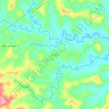
Name: Cinco topographic map, elevation, terrain.

Location: Cinco, Santa Margarita, Samar, Eastern Visayas, Philippines (12.07513 124.69216 12.11513 124.73216)

Average elevation: 233 ft

Minimum elevation: 72 ft

Maximum elevation: 594 ft

Other topographic maps

Click on a map to view its topography, its elevation and its terrain.

Ilo River

Philippines > Samar > Santa Margarita > Ilo

Average elevation: 16 ft

Gear up for your next adventure:

🧭GPS Watch Accessories - Bands and chargers for GPS watches
🎒Trail Energy Bars - High‑calorie bars for hiking energy
📦Gear Storage Bags - Organize and protect outdoor equipment
🔦Powerful Headlamps - Ultra-bright hands-free lighting for night navigation
🥇GPS Hiking Watch - Multi‑sport GPS watch with navigation and trail tracking

As an Amazon Associate, this site earns from qualifying purchases at no extra cost to you.