
Thank you for supporting this site ❤️
Make a donation
Make a donation
Gear up for your next adventure:
As an Amazon Associate, this site earns from qualifying purchases at no extra cost to you.
Lumut topographic map
Click on the map to display elevation.
Thank you for supporting this site ❤️
Make a donation
Make a donation
Gear up for your next adventure:
As an Amazon Associate, this site earns from qualifying purchases at no extra cost to you.
About this map
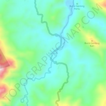
Name: Lumut topographic map, elevation, terrain.
Location: Lumut, Linge, Aceh Tengah, Aceh, Sumatra, Indonesia (4.31389 97.12041 4.35389 97.16041)
Average elevation: 1,841 ft
Minimum elevation: 1,434 ft
Maximum elevation: 2,982 ft
Thank you for supporting this site ❤️
Make a donation
Make a donation
Gear up for your next adventure:
As an Amazon Associate, this site earns from qualifying purchases at no extra cost to you.