Geolocate

Pima Point topographic map

Click on the map to display elevation.

About this map

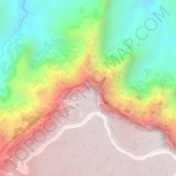
Name: Pima Point topographic map, elevation, terrain.

Location: Pima Point, Grand Canyon Village, Coconino County, Arizona, United States (36.07188 -112.20022 36.07198 -112.20012)

Average elevation: 5,007 ft

Minimum elevation: 2,795 ft

Maximum elevation: 6,867 ft

Other topographic maps

Click on a map to view its topography, its elevation and its terrain.

Gear up for your next adventure:

🔌USB Car Charger - Car charger for on‑the‑go power needs
📷Action Camera - Capture your outdoor adventures in HD
🎒Trekking Poles - Sturdy poles for balance and stability on rough terrain
🗃️Trail First Aid Kit - Essential kit for outdoor injuries and emergencies
🔋Solar Power Banks - Keep your GPS and phone charged in remote wilderness areas

As an Amazon Associate, this site earns from qualifying purchases at no extra cost to you.