Thank you for supporting this site ❤️
Make a donation
Make a donation
Gear up for your next adventure:
As an Amazon Associate, this site earns from qualifying purchases at no extra cost to you.
Tyrrell topographic map
Click on the map to display elevation.
Thank you for supporting this site ❤️
Make a donation
Make a donation
Gear up for your next adventure:
As an Amazon Associate, this site earns from qualifying purchases at no extra cost to you.
About this map
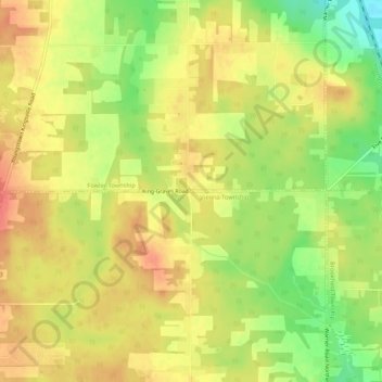
Name: Tyrrell topographic map, elevation, terrain.
Location: Tyrrell, Trumbull County, Ohio, 44418, United States (41.25228 -80.65619 41.29228 -80.61619)
Average elevation: 1,119 ft
Minimum elevation: 1,001 ft
Maximum elevation: 1,201 ft
Trumbull County trails, hiking, mountain biking, running and outdoor activities
Thank you for supporting this site ❤️
Make a donation
Make a donation
Gear up for your next adventure:
As an Amazon Associate, this site earns from qualifying purchases at no extra cost to you.
