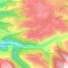
Ehden topographic map
Click on the map to display elevation.
Ehden
Ehden is located in the central northern side of Mount Lebanon, with a 1500-metre (at Midan square) elevation from sea level. It is 120 kilometres (75 mi) from Beirut, 30 kilometres (19 mi) from Tripoli and 25 kilometres (16 mi) from Zgharta. Ehden used to be the sole residence for Zghartians prior to the establishment of Zgharta. It is known for its dry climate, water and forest. It is a renowned summer location, famous for its setting on the Mar Sarkis (Saint Sarkis) Mountain overlooking coastal towns and villages as far as Akkar to Shikka. A large number of local and overseas tourists visit Ehden annually.
About this map
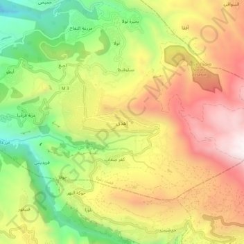
Name: Ehden topographic map, elevation, terrain.
Location: Ehden, Zgharta District, North Governorate, Lebanon (34.25066 35.92568 34.33066 36.00568)
Average elevation: 4,429 ft
Minimum elevation: 1,381 ft
Maximum elevation: 7,844 ft
Other topographic maps
Click on a map to view its topography, its elevation and its terrain.