Geolocate

Cheju topographic map

Click on the map to display elevation.

About this map

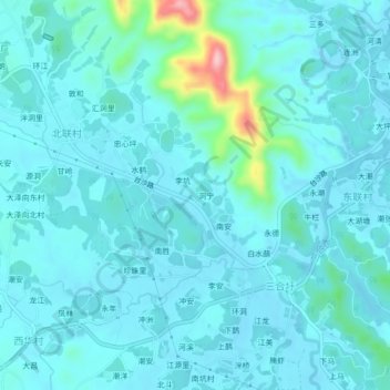
Name: Cheju topographic map, elevation, terrain.

Location: Cheju, Taishan, Jiangmen, Guangdong Province, China (22.17964 112.68157 22.21964 112.72157)

Average elevation: 82 ft

Minimum elevation: 7 ft

Maximum elevation: 627 ft

Gear up for your next adventure:

🛌Ultralight Sleeping Bags - Compact down bags for cold nights in the wilderness
🥤Water Filter Bottle - All‑in‑one filter bottle for safe hydration
🌧️Backpack Rain Cover - Keep gear dry in wet weather
🎒Waterproof Dry Bags - Keep your electronics and maps dry inside your pack
🩹Survival Bandages - High‑quality bandages for emergencies

As an Amazon Associate, this site earns from qualifying purchases at no extra cost to you.