
Holzhausen topographic map
Interactive map
Click on the map to display elevation.
About this map
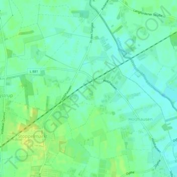
Name: Holzhausen topographic map, elevation, terrain.
Location: Holzhausen, Vechta, Landkreis Vechta, Niedersachsen, Deutschland (52.74314 8.28855 52.76747 8.33371)
Average elevation: 138 ft
Minimum elevation: 112 ft
Maximum elevation: 171 ft
Other topographic maps
Click on a map to view its topography, its elevation and its terrain.
Langförden
Deutschland > Niedersachsen > Landkreis Vechta > Vechta
Langförden, Vechta, Landkreis Vechta, Niedersachsen, Deutschland
Average elevation: 157 ft