
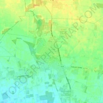
Langförden topographic map
Interactive map
Click on the map to display elevation.
About this map
Name: Langförden topographic map, elevation, terrain.
Location: Langförden, Vechta, Landkreis Vechta, Niedersachsen, Deutschland (52.77377 8.22404 52.80058 8.28115)
Average elevation: 157 ft
Minimum elevation: 115 ft
Maximum elevation: 200 ft
Other topographic maps
Click on a map to view its topography, its elevation and its terrain.
Holzhausen
Deutschland > Niedersachsen > Landkreis Vechta > Vechta
Holzhausen, Vechta, Landkreis Vechta, Niedersachsen, Deutschland
Average elevation: 138 ft