Geolocate

Cadwell topographic map

Click on the map to display elevation.

About this map
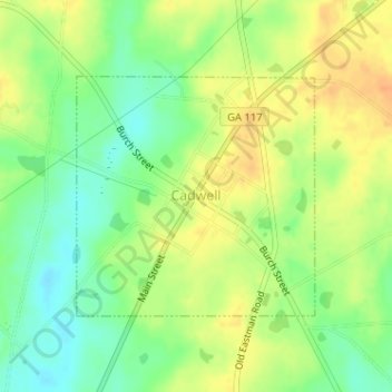
Name: Cadwell topographic map, elevation, terrain.

Location: Cadwell, Laurens County, Georgia, United States (32.33125 -83.05185 32.34780 -83.03238)

Average elevation: 348 ft

Minimum elevation: 285 ft

Maximum elevation: 404 ft

Laurens County trails, hiking, mountain biking, running and outdoor activities

Gear up for your next adventure:

🧣Merino Neck Gaiters - Multi-functional headwear for wind and sun protection
🧢Outdoor Hiking Hat - Sun protection hat for outdoor explorers
🔥Camping Stove - Portable stove for camping and backcountry cooking
🧭Orienteering Set - Complete compass and map reading kit
🪑Portable Camp Table - Compact table for campsite meals

As an Amazon Associate, this site earns from qualifying purchases at no extra cost to you.