
Llanrumney topographic map
Click on the map to display elevation.
About this map
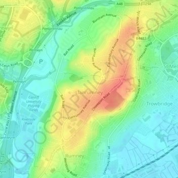
Name: Llanrumney topographic map, elevation, terrain.
Location: Llanrumney, Cardiff, Wales, United Kingdom (51.50489 -3.14337 51.53071 -3.11318)
Average elevation: 85 ft
Minimum elevation: 13 ft
Maximum elevation: 194 ft
Other topographic maps
Click on a map to view its topography, its elevation and its terrain.