Geolocate

Myrtle Grove topographic map

Click on the map to display elevation.

About this map

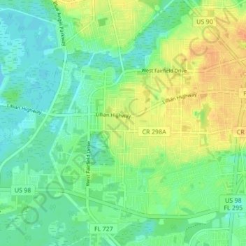
Name: Myrtle Grove topographic map, elevation, terrain.

Location: Myrtle Grove, Escambia County, Florida, United States (30.38975 -87.32739 30.44845 -87.27604)

Average elevation: 43 ft

Minimum elevation: -3 ft

Maximum elevation: 105 ft

Escambia County trails, hiking, mountain biking, running and outdoor activities

Gear up for your next adventure:

🔥Camping Stove - Portable stove for camping and backcountry cooking
🏫Relief Map Kits - Hands-on tools for teaching landforms and elevation
📖Nature Tracking Books - Learn to track wildlife and terrain
👟Men's Trail Runners - Lightweight footwear for fast-paced exploration and light hiking
🦟Ultrasonic Repellers - Create a bug-free zone at your camp or rest stop

As an Amazon Associate, this site earns from qualifying purchases at no extra cost to you.