Geolocate

Crawford topographic map

Click on the map to display elevation.

About this map

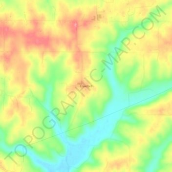
Name: Crawford topographic map, elevation, terrain.

Location: Crawford, Lawrence County, Indiana, United States (38.82588 -86.41721 38.86588 -86.37721)

Average elevation: 650 ft

Minimum elevation: 492 ft

Maximum elevation: 804 ft

Lawrence County trails, hiking, mountain biking, running and outdoor activities

Gear up for your next adventure:

🧤Hiking Gloves - Protective gloves for rugged trails
🔭Stargazing Telescopes - Perfect for camping in low-light pollution areas shown on maps
🧼Biodegradable Camping Soap - Eco‑friendly soap for outdoor hygiene
👟Men's Trail Runners - Lightweight footwear for fast-paced exploration and light hiking
🧥Waterproof Jacket for Hiking - Breathable and rugged rain jacket for outdoor excursions

As an Amazon Associate, this site earns from qualifying purchases at no extra cost to you.