Geolocate

Muchacho topographic map

Click on the map to display elevation.

About this map

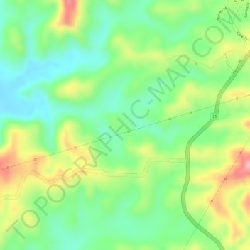
Name: Muchacho topographic map, elevation, terrain.

Location: Muchacho, Ovejas, Montes de María, Sucre, Colombia (9.49929 -75.25463 9.51929 -75.23463)

Average elevation: 768 ft

Minimum elevation: 568 ft

Maximum elevation: 1,040 ft

Gear up for your next adventure:

🛡️Bear Spray Outdoor - Protection in bear country hikes
Solar GPS Watches - Advanced multisport watches with built-in topographic maps
🛠️Backpacking Tool Kit - Essential toolkit for outdoor repairs
📷Action Camera - Capture your outdoor adventures in HD
🪶Wildlife Field Guides - Learn animal tracking and species ID

As an Amazon Associate, this site earns from qualifying purchases at no extra cost to you.