Geolocate

Cartagena topographic map

Click on the map to display elevation.

About this map

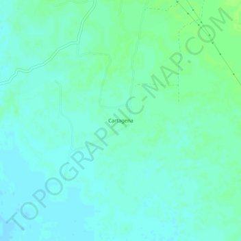
Name: Cartagena topographic map, elevation, terrain.

Location: Cartagena, Mórrope, Province of Lambayeque, Lambayeque, Peru (-6.61289 -80.04334 -6.57289 -80.00334)

Average elevation: 39 ft

Minimum elevation: 26 ft

Maximum elevation: 56 ft

Gear up for your next adventure:

💧Water Filtration Bottles - Safely drink from streams and lakes while exploring
🧦Merino Wool Socks - Moisture-wicking, blister-preventing socks for long treks
🔦Compact Flashlight - Reliable flashlight for emergencies
🎒Gear Packing Cubes - Organize your backpack efficiently
🥇GPS Hiking Watch - Multi‑sport GPS watch with navigation and trail tracking

As an Amazon Associate, this site earns from qualifying purchases at no extra cost to you.