
Stonegate topographic map
Click on the map to display elevation.
About this map
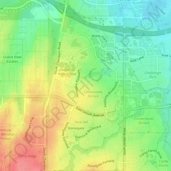
Name: Stonegate topographic map, elevation, terrain.
Location: Stonegate, Parker, Douglas County, Colorado, United States (39.52234 -104.81243 39.55478 -104.79350)
Average elevation: 5,843 ft
Minimum elevation: 5,728 ft
Maximum elevation: 5,984 ft
Douglas County trails, hiking, mountain biking, running and outdoor activities