Geolocate

Smith Center topographic map

Click on the map to display elevation.

About this map

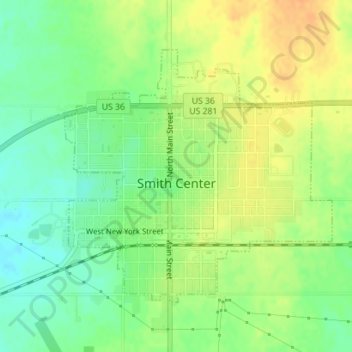
Name: Smith Center topographic map, elevation, terrain.

Location: Smith Center, Smith County, Kansas, 66967, United States (39.77001 -98.79629 39.78942 -98.76951)

Average elevation: 1,801 ft

Minimum elevation: 1,745 ft

Maximum elevation: 1,857 ft

Smith County trails, hiking, mountain biking, running and outdoor activities

Gear up for your next adventure:

😴Insulated Sleeping Pads - Compact and warm pads for high-elevation camping
🥾Women's Hiking Boots - Top-rated trail boots with ankle support and superior grip
Backpacking Tents - Weight-optimized shelters for multi-day topographic surveys
📌Outdoor GPS Map App - Apps and devices for digital topographic navigation
🛠️Outdoor Gear Repair Kit - Essential tools to fix gear on the trail

As an Amazon Associate, this site earns from qualifying purchases at no extra cost to you.