
Thank you for supporting this site ❤️
Make a donation
Make a donation
Gear up for your next adventure:
As an Amazon Associate, this site earns from qualifying purchases at no extra cost to you.
Metekhis Sadguri topographic map
Click on the map to display elevation.
Thank you for supporting this site ❤️
Make a donation
Make a donation
Gear up for your next adventure:
As an Amazon Associate, this site earns from qualifying purchases at no extra cost to you.
About this map
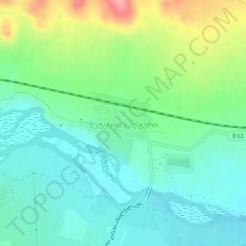
Name: Metekhis Sadguri topographic map, elevation, terrain.
Location: Metekhis Sadguri, Kaspi Municipality, Inner Kartli, Georgia (41.94081 44.33307 41.94492 44.34212)
Average elevation: 1,827 ft
Minimum elevation: 1,703 ft
Maximum elevation: 2,126 ft
Thank you for supporting this site ❤️
Make a donation
Make a donation
Gear up for your next adventure:
As an Amazon Associate, this site earns from qualifying purchases at no extra cost to you.