
Şahintepe topographic map
Interactive map
Click on the map to display elevation.
About this map
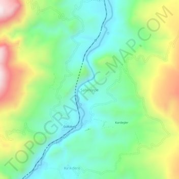
Name: Şahintepe topographic map, elevation, terrain.
Location: Şahintepe, Kemah, Erzincan, Eastern Anatolia Region, Turkey (39.49685 38.72796 39.53685 38.76796)
Average elevation: 3,812 ft
Minimum elevation: 3,012 ft
Maximum elevation: 5,377 ft
Other topographic maps
Click on a map to view its topography, its elevation and its terrain.