
Pend Oreille River topographic map
Interactive map
Click on the map to display elevation.
About this map
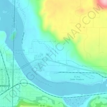
Name: Pend Oreille River topographic map, elevation, terrain.
Location: Pend Oreille River, Bonner County, Idaho, 83822, USA (48.17703 -117.03894 48.19979 -116.99477)
Average elevation: 2,178 ft
Minimum elevation: 2,028 ft
Maximum elevation: 2,671 ft
Other topographic maps
Click on a map to view its topography, its elevation and its terrain.
Garden City
USA > Idaho > Garden City
Garden City, Ada County, Idaho, 83614, USA
Average elevation: 2,795 ft