Geolocate

Acid Lake topographic map

Click on the map to display elevation.

About this map

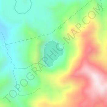
Name: Acid Lake topographic map, elevation, terrain.

Location: Acid Lake, Subic, Zambales, Central Luzon, Philippines (14.95549 120.33372 14.96220 120.33885)

Average elevation: 1,280 ft

Minimum elevation: 482 ft

Maximum elevation: 2,388 ft

Gear up for your next adventure:

🌎3D Topographic Globes - Raised relief globes for a tactile understanding of geography
📶Satellite Messenger - Communication device off‑grid
🦟Ultrasonic Repellers - Create a bug-free zone at your camp or rest stop
🦶Hiking Gaiters - Keep debris and water out of your boots
🎁Geography Themed Gifts - Unique gift ideas for map lovers and geography enthusiasts

As an Amazon Associate, this site earns from qualifying purchases at no extra cost to you.