Geolocate

Dwara topographic map

Click on the map to display elevation.

About this map

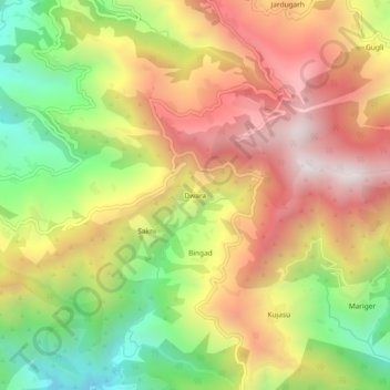
Name: Dwara topographic map, elevation, terrain.

Location: Dwara, Pokhri, Pokhari, Chamoli District, Uttarakhand, India (30.30017 79.17907 30.34017 79.21907)

Average elevation: 5,148 ft

Minimum elevation: 3,261 ft

Maximum elevation: 6,916 ft

Gear up for your next adventure:

🔥Camping Stove - Portable stove for camping and backcountry cooking
🧤Hiking Gloves - Protective gloves for rugged trails
🪶Camp Gear Gift Set - Perfect gift bundle for outdoor fans
🔥Fast-Boil Camping Stoves - Efficient cooking systems for quick trail meals
📻Weather Alert Radios - Stay informed of storm risks while off-the-grid

As an Amazon Associate, this site earns from qualifying purchases at no extra cost to you.