
Make a donation
Gear up for your next adventure:
As an Amazon Associate, this site earns from qualifying purchases at no extra cost to you.
Sunny Beach topographic map
Click on the map to display elevation.
Make a donation
Gear up for your next adventure:
As an Amazon Associate, this site earns from qualifying purchases at no extra cost to you.
About this map
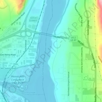
Name: Sunny Beach topographic map, elevation, terrain.
Location: Sunny Beach, Douglas County, Washington, United States (47.46651 -120.31502 47.46718 -120.31463)
Average elevation: 722 ft
Minimum elevation: 607 ft
Maximum elevation: 1,188 ft
Douglas County trails, hiking, mountain biking, running and outdoor activities
Make a donation
Gear up for your next adventure:
As an Amazon Associate, this site earns from qualifying purchases at no extra cost to you.
Other topographic maps
Click on a map to view its topography, its elevation and its terrain.
East Wenatchee Bench
United States > Washington > Douglas County > East Wenatchee
Average elevation: 971 ft