
Timang topographic map
Interactive map
Click on the map to display elevation.
About this map
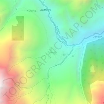
Name: Timang topographic map, elevation, terrain.
Location: Timang, Chame, Manang, Gandaki Province, 33500, Nepal (28.50711 84.28492 28.54711 84.32492)
Average elevation: 9,636 ft
Minimum elevation: 6,988 ft
Maximum elevation: 14,488 ft