Geolocate

Farmland topographic map

Click on the map to display elevation.

About this map

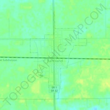
Name: Farmland topographic map, elevation, terrain.

Location: Farmland, Randolph County, Indiana, United States (40.17846 -85.13548 40.19991 -85.11728)

Average elevation: 1,043 ft

Minimum elevation: 1,014 ft

Maximum elevation: 1,066 ft

Randolph County trails, hiking, mountain biking, running and outdoor activities

Other topographic maps

Click on a map to view its topography, its elevation and its terrain.

Windsor

United States > Indiana > Randolph County

Average elevation: 1,024 ft

Gear up for your next adventure:

🎒Trail Energy Bars - High‑calorie bars for hiking energy
🪶Compact Camp Shovel - Folding shovel for campsite tasks
🕶️Glacier Sunglasses - Side shields to protect eyes from high-altitude snow glare
🪶Survival Guide Book - Expert advice for emergency preparedness
🥘Titanium Cookware - Durable, featherlight pots and pans for backpacking

As an Amazon Associate, this site earns from qualifying purchases at no extra cost to you.