
Kafr Al Bagour Village topographic map
Interactive map
Click on the map to display elevation.
About this map
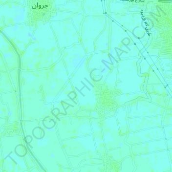
Name: Kafr Al Bagour Village topographic map, elevation, terrain.
Location: Kafr Al Bagour Village, Al Minufiya, Egypt (30.40785 31.00838 30.43101 31.03185)
Average elevation: 46 ft
Minimum elevation: 36 ft
Maximum elevation: 56 ft
Other topographic maps
Click on a map to view its topography, its elevation and its terrain.
Zawiyat Garawan
Zawiyat Garawan, Al Minufiya, 32821, Egypt
Average elevation: 46 ft
حديقة الحرية
Egypt > Al Minufiya > Sadat City
حديقة الحرية, Sadat City, Al Minufiya, Egypt
Average elevation: 141 ft