
Solalinden topographic map
Click on the map to display elevation.
About this map
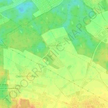
Name: Solalinden topographic map, elevation, terrain.
Location: Solalinden, Putzbrunn, Landkreis München, Bayern, Deutschland (48.08650 11.70416 48.09353 11.71100)
Average elevation: 1,801 ft
Minimum elevation: 1,742 ft
Maximum elevation: 1,844 ft