
Kampung Kok Pasir topographic map
Interactive map
Click on the map to display elevation.
About this map
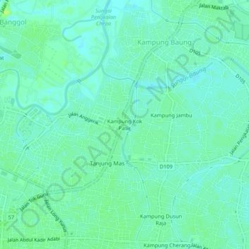
Name: Kampung Kok Pasir topographic map, elevation, terrain.
Location: Kampung Kok Pasir, Kota Bharu, Kelantan, 15400, Malaysia (6.12315 102.24707 6.16315 102.28707)
Average elevation: 26 ft
Minimum elevation: 10 ft
Maximum elevation: 46 ft
Other topographic maps
Click on a map to view its topography, its elevation and its terrain.
Kota Bharu
Malaysia > Kelantan > Kota Bharu
Kota Bharu, Kelantan, 15000, Malaysia
Average elevation: 20 ft
Kampung Pulau Gajah
Malaysia > Kelantan > Kota Bharu
Kampung Pulau Gajah, Kota Bharu, Kelantan, 16100, Malaysia
Average elevation: 20 ft
Sungai Lubuk Mulong
Malaysia > Kelantan > Kota Bharu
Sungai Lubuk Mulong, Bunut Payong, Kota Bharu, Kelantan, 15150, Malaysia
Average elevation: 33 ft