
Odelouca topographic map
Interactive map
Click on the map to display elevation.
About this map
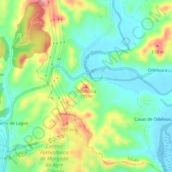
Name: Odelouca topographic map, elevation, terrain.
Location: Odelouca, Silves, Faro, Algarve, 8500-000, Portugal (37.20621 -8.51324 37.20631 -8.51314)
Average elevation: 131 ft
Minimum elevation: -7 ft
Maximum elevation: 361 ft
Other topographic maps
Click on a map to view its topography, its elevation and its terrain.