
Luzio topographic map
Interactive map
Click on the map to display elevation.
About this map
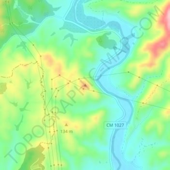
Name: Luzio topographic map, elevation, terrain.
Location: Luzio, Silves, Faro, Algarve, Portugal (37.22933 -8.51336 37.22943 -8.51326)
Average elevation: 200 ft
Minimum elevation: 7 ft
Maximum elevation: 587 ft
Other topographic maps
Click on a map to view its topography, its elevation and its terrain.