
Thank you for supporting this site ❤️
Make a donation
Make a donation
Gear up for your next adventure:
As an Amazon Associate, this site earns from qualifying purchases at no extra cost to you.
Härtensdorf topographic map
Click on the map to display elevation.
Thank you for supporting this site ❤️
Make a donation
Make a donation
Gear up for your next adventure:
As an Amazon Associate, this site earns from qualifying purchases at no extra cost to you.
About this map
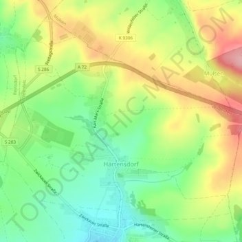
Name: Härtensdorf topographic map, elevation, terrain.
Location: Härtensdorf, Wildenfels, Zwickau, Sachsen, Deutschland (50.66827 12.58648 50.69474 12.63363)
Average elevation: 1,273 ft
Minimum elevation: 1,073 ft
Maximum elevation: 1,529 ft
Thank you for supporting this site ❤️
Make a donation
Make a donation
Gear up for your next adventure:
As an Amazon Associate, this site earns from qualifying purchases at no extra cost to you.