Geolocate

Kheri topographic map

Click on the map to display elevation.

About this map

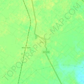
Name: Kheri topographic map, elevation, terrain.

Location: Kheri, Lakhimpur, Kheri, Uttar Pradesh, 262700, India (27.88420 80.77724 27.92420 80.81724)

Average elevation: 472 ft

Minimum elevation: 440 ft

Maximum elevation: 489 ft

Gear up for your next adventure:

❄️Traction Cleats - Prevent slips on icy trails during winter hikes
Backpacking Tents - Weight-optimized shelters for multi-day topographic surveys
🧦Hiking Socks - Comfortable socks to prevent blisters on long hikes
🎒Trekking Poles - Sturdy poles for balance and stability on rough terrain
🎒Hydration Pack - Hands‑free water reservoir for long hikes

As an Amazon Associate, this site earns from qualifying purchases at no extra cost to you.