
Make a donation
Gear up for your next adventure:
As an Amazon Associate, this site earns from qualifying purchases at no extra cost to you.
Le Bois topographic map
Click on the map to display elevation.
Make a donation
Gear up for your next adventure:
As an Amazon Associate, this site earns from qualifying purchases at no extra cost to you.
About this map
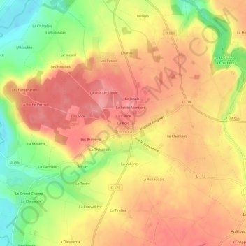
Name: Le Bois topographic map, elevation, terrain.
Average elevation: 223 ft
Minimum elevation: 26 ft
Maximum elevation: 344 ft
Make a donation
Gear up for your next adventure:
As an Amazon Associate, this site earns from qualifying purchases at no extra cost to you.
Other topographic maps
Click on a map to view its topography, its elevation and its terrain.
Antrain
France > Bretagne > Ille-et-Vilaine > Val-Couesnon
La ville est bâtie sur un petit promontoire de 45 mètres d’altitude situé au confluent de deux cours d’eau : la Loysance et le Couesnon. Elle domine une verte région bocagère. C'est une ville-marché aux petites rues en pente conservant des demeures des XVI et XVII siècles.
Average elevation: 164 ft
Make a donation
Gear up for your next adventure:
As an Amazon Associate, this site earns from qualifying purchases at no extra cost to you.