Geolocate

Trevethin topographic map

Click on the map to display elevation.

About this map

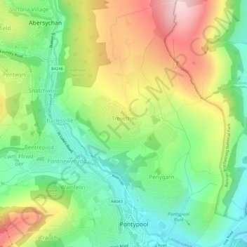
Name: Trevethin topographic map, elevation, terrain.

Location: Trevethin, Pontypool, Torfaen, Wales, United Kingdom (51.69860 -3.05881 51.73134 -3.02111)

Average elevation: 748 ft

Minimum elevation: 344 ft

Maximum elevation: 1,339 ft

Gear up for your next adventure:

🚗GPS Dash Cams - Record your scenic drives through mountain passes and canyons
🏫Relief Map Kits - Hands-on tools for teaching landforms and elevation
🎒Trekking Poles - Sturdy poles for balance and stability on rough terrain
🥄Camping Utensil Set - Lightweight utensils for outdoor meals
🪶Thermal Camp Blanket - Extra warmth for cold nights

As an Amazon Associate, this site earns from qualifying purchases at no extra cost to you.