
Kendri topographic map
Click on the map to display elevation.
About this map
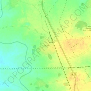
Name: Kendri topographic map, elevation, terrain.
Location: Kendri, Abhanpur Tahsil, Raipur, Chhattisgarh, 490002, India (21.07963 81.71798 21.11963 81.75798)
Average elevation: 1,030 ft
Minimum elevation: 981 ft
Maximum elevation: 1,073 ft