
Thank you for supporting this site ❤️
Make a donation
Make a donation
Gear up for your next adventure:
As an Amazon Associate, this site earns from qualifying purchases at no extra cost to you.
Medina #2 topographic map
Click on the map to display elevation.
Thank you for supporting this site ❤️
Make a donation
Make a donation
Gear up for your next adventure:
As an Amazon Associate, this site earns from qualifying purchases at no extra cost to you.
About this map
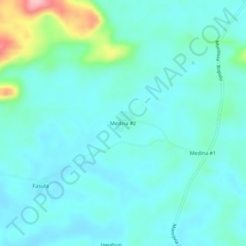
Name: Medina #2 topographic map, elevation, terrain.
Location: Medina #2, Bopolu, Gbarpolu County, Liberia (7.01869 -10.53427 7.05869 -10.49427)
Average elevation: 617 ft
Minimum elevation: 522 ft
Maximum elevation: 1,073 ft
Thank you for supporting this site ❤️
Make a donation
Make a donation
Gear up for your next adventure:
As an Amazon Associate, this site earns from qualifying purchases at no extra cost to you.