
Thank you for supporting this site ❤️
Make a donation
Make a donation
Gear up for your next adventure:
As an Amazon Associate, this site earns from qualifying purchases at no extra cost to you.
Espiño topographic map
Click on the map to display elevation.
Thank you for supporting this site ❤️
Make a donation
Make a donation
Gear up for your next adventure:
As an Amazon Associate, this site earns from qualifying purchases at no extra cost to you.
About this map
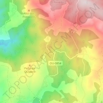
Name: Espiño topographic map, elevation, terrain.
Location: Espiño, A Veiga, Valdeorras, Orense, Galicia, España (42.25621 -7.00216 42.30279 -6.96775)
Average elevation: 3,760 ft
Minimum elevation: 2,822 ft
Maximum elevation: 4,711 ft
Thank you for supporting this site ❤️
Make a donation
Make a donation
Gear up for your next adventure:
As an Amazon Associate, this site earns from qualifying purchases at no extra cost to you.