
Sherman topographic map
Click on the map to display elevation.
About this map
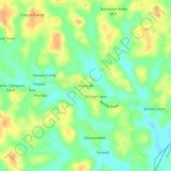
Name: Sherman topographic map, elevation, terrain.
Location: Sherman, Kakata, Margibi County, Liberia (6.53120 -10.29017 6.57120 -10.25017)
Average elevation: 312 ft
Minimum elevation: 249 ft
Maximum elevation: 387 ft