
Thank you for supporting this site ❤️
Make a donation
Make a donation
Gear up for your next adventure:
As an Amazon Associate, this site earns from qualifying purchases at no extra cost to you.
Anbuh topographic map
Click on the map to display elevation.
Thank you for supporting this site ❤️
Make a donation
Make a donation
Gear up for your next adventure:
As an Amazon Associate, this site earns from qualifying purchases at no extra cost to you.
About this map
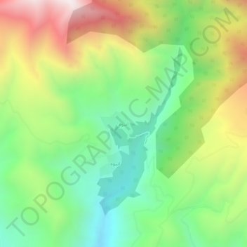
Name: Anbuh topographic map, elevation, terrain.
Location: Anbuh, بخش عمارلو, Rudbar County, Gilan Province, Iran (36.64516 49.97308 36.68516 50.01308)
Average elevation: 5,295 ft
Minimum elevation: 3,665 ft
Maximum elevation: 7,746 ft
Thank you for supporting this site ❤️
Make a donation
Make a donation
Gear up for your next adventure:
As an Amazon Associate, this site earns from qualifying purchases at no extra cost to you.