
Trumann topographic map
Click on the map to display elevation.
About this map
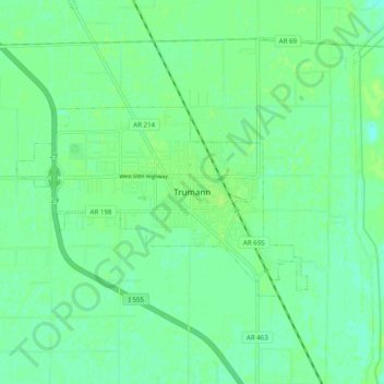
Name: Trumann topographic map, elevation, terrain.
Location: Trumann, Poinsett County, Arkansas, 72472, United States (35.63528 -90.55737 35.71528 -90.47737)
Average elevation: 220 ft
Minimum elevation: 203 ft
Maximum elevation: 233 ft
Poinsett County trails, hiking, mountain biking, running and outdoor activities