
Area H (The Slocan Valley) topographic map
Interactive map
Click on the map to display elevation.
About this map
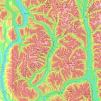
Name: Area H (The Slocan Valley) topographic map, elevation, terrain.
Average elevation: 4,678 ft
Minimum elevation: 1,385 ft
Maximum elevation: 10,043 ft