
Morris topographic map
Click on the map to display elevation.
About this map
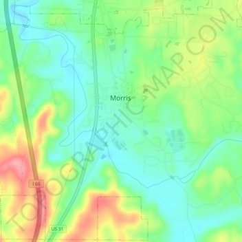
Name: Morris topographic map, elevation, terrain.
Location: Morris, Jefferson County, Alabama, United States (33.72621 -86.82771 33.76186 -86.78182)
Average elevation: 459 ft
Minimum elevation: 335 ft
Maximum elevation: 669 ft
Jefferson County trails, hiking, mountain biking, running and outdoor activities