Geolocate

Warten topographic map

Click on the map to display elevation.

About this map

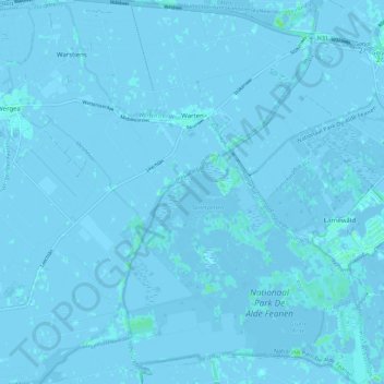
Name: Warten topographic map, elevation, terrain.

Location: Warten, Leeuwarden, Frisia, Netherlands (53.10368 5.85345 53.17037 5.94966)

Average elevation: 0 ft

Minimum elevation: -20 ft

Maximum elevation: 23 ft

Gear up for your next adventure:

📡Handheld GPS Device - Reliable handheld GPS for outdoor navigation
🧢Sun Protection Hats - Wide-brimmed and UPF-rated hats for high-altitude sun safety
📻Weather Alert Radios - Stay informed of storm risks while off-the-grid
🥇GPS Hiking Watch - Multi‑sport GPS watch with navigation and trail tracking
Solar GPS Watches - Advanced multisport watches with built-in topographic maps

As an Amazon Associate, this site earns from qualifying purchases at no extra cost to you.