
Humedal de San Vito topographic map
Interactive map
Click on the map to display elevation.
About this map
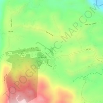
Name: Humedal de San Vito topographic map, elevation, terrain.
Average elevation: 3,291 ft
Minimum elevation: 2,710 ft
Maximum elevation: 3,914 ft