
Laverne Kelly Memorial Park topographic map
Interactive map
Click on the map to display elevation.
About this map
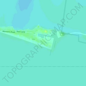
Name: Laverne Kelly Memorial Park topographic map, elevation, terrain.
Average elevation: 564 ft
Minimum elevation: 554 ft
Maximum elevation: 591 ft
Other topographic maps
Click on a map to view its topography, its elevation and its terrain.
Wallaceburg
Canada > Ontario > Chatham-Kent
Wallaceburg, Chatham-Kent, Southwestern Ontario, Ontario, N8A 2N8, Canada
Average elevation: 581 ft
Blenheim
Canada > Ontario > Chatham-Kent
Blenheim, Chatham-Kent, Ontario, N0P 2A0, Canada
Average elevation: 650 ft
Merlin
Canada > Ontario > Chatham-Kent > Merlin
Merlin, Chatham-Kent, Southwestern Ontario, Ontario, N0P 1W0, Canada
Average elevation: 620 ft