
Thank you for supporting this site ❤️
Make a donation
Make a donation
Gear up for your next adventure:
As an Amazon Associate, this site earns from qualifying purchases at no extra cost to you.
Pasorapa topographic map
Click on the map to display elevation.
Thank you for supporting this site ❤️
Make a donation
Make a donation
Gear up for your next adventure:
As an Amazon Associate, this site earns from qualifying purchases at no extra cost to you.
About this map
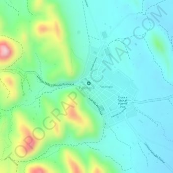
Name: Pasorapa topographic map, elevation, terrain.
Location: Pasorapa, Municipio Pasorapa, Campero, Cochabamba, Bolivia (-18.32805 -64.68241 -18.31479 -64.66919)
Average elevation: 6,988 ft
Minimum elevation: 6,768 ft
Maximum elevation: 7,507 ft
Thank you for supporting this site ❤️
Make a donation
Make a donation
Gear up for your next adventure:
As an Amazon Associate, this site earns from qualifying purchases at no extra cost to you.