
Thank you for supporting this site ❤️
Make a donation
Make a donation
Gear up for your next adventure:
As an Amazon Associate, this site earns from qualifying purchases at no extra cost to you.
Pagalungan topographic map
Click on the map to display elevation.
Thank you for supporting this site ❤️
Make a donation
Make a donation
Gear up for your next adventure:
As an Amazon Associate, this site earns from qualifying purchases at no extra cost to you.
About this map
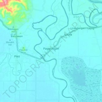
Name: Pagalungan topographic map, elevation, terrain.
Location: Pagalungan, Maguindanao, Bangsamoro, 9409, Philippines (7.01794 124.65920 7.09794 124.73920)
Average elevation: 52 ft
Minimum elevation: 16 ft
Maximum elevation: 472 ft
Thank you for supporting this site ❤️
Make a donation
Make a donation
Gear up for your next adventure:
As an Amazon Associate, this site earns from qualifying purchases at no extra cost to you.