Geolocate

Kotla topographic map

Click on the map to display elevation.

About this map

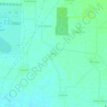
Name: Kotla topographic map, elevation, terrain.

Location: Kotla, Rajpura Tahsil, Patiala, Punjab, India (30.52517 76.57722 30.56517 76.61722)

Average elevation: 899 ft

Minimum elevation: 886 ft

Maximum elevation: 919 ft

Gear up for your next adventure:

🔋Solar Power Banks - Keep your GPS and phone charged in remote wilderness areas
🖼️Topo Map Wall Art - Decorative topographic prints of famous peaks and regions
🏔️Mountain Trail Maps - High‑detail maps for popular peaks
🧯Portable Fire Pit - Compact fire pit for camping spots
Camping Coffee Makers - Enjoy premium coffee at the summit or campsite

As an Amazon Associate, this site earns from qualifying purchases at no extra cost to you.