
Stour topographic map
Click on the map to display elevation.
Stour
The source, of what is known at that point as the Great Stour, is near the village of Lenham, within a short distance of the River Len, a tributary of the Medway. The source is at a high elevation close to the North Downs escarpment. At first the river flows south east in a narrow valley parallel to the escarpment and the Greensand ridge to the south, before breaking through the ridge near Hothfield into a broad valley. Three small streams enter from the north, having their headwaters on the close to Downs escarpment. Flood defences can turn this valley into a large lake and an embankment has had to be built to prevent overflow into the Medway catchment barely 100 metres away to the south. The river turns north east by the village of Great Chart in the direction of its outlet to the sea.
About this map
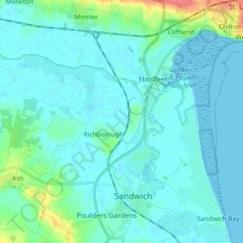
Name: Stour topographic map, elevation, terrain.
Average elevation: 23 ft
Minimum elevation: -3 ft
Maximum elevation: 167 ft
Other topographic maps
Click on a map to view its topography, its elevation and its terrain.