
Cacheiras topographic map
Interactive map
Click on the map to display elevation.
About this map
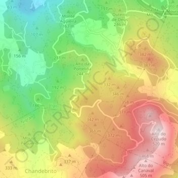
Name: Cacheiras topographic map, elevation, terrain.
Location: Cacheiras, Vigo, Pontevedra, Galicia, 36315, España (42.16643 -8.75867 42.18643 -8.73867)
Average elevation: 853 ft
Minimum elevation: 43 ft
Maximum elevation: 1,683 ft
Other topographic maps
Click on a map to view its topography, its elevation and its terrain.