Geolocate

Ras topographic map

Click on the map to display elevation.

About this map

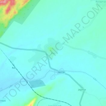
Name: Ras topographic map, elevation, terrain.

Location: Ras, Jaitaran, Beaware, Rajasthan, 306101, India (26.28408 74.17513 26.32408 74.21513)

Average elevation: 1,214 ft

Minimum elevation: 1,161 ft

Maximum elevation: 1,535 ft

Gear up for your next adventure:

🧤Hiking Gloves - Protective gloves for rugged trails
🥇GPS Hiking Watch - Multi‑sport GPS watch with navigation and trail tracking
🥄Camping Utensil Set - Lightweight utensils for outdoor meals
📱Heavy-Duty Phone Cases - Drop-proof and waterproof protection for outdoor navigation
📶Satellite Messenger - Communication device off‑grid

As an Amazon Associate, this site earns from qualifying purchases at no extra cost to you.